Panarchistic Architecture :: Chapter #4 [4.4]
Citation: Sterry, M. L., (2018) Panarchistic Architecture: Building Wildland-Urban Interface Resilience to Wildfire through Design Thinking, Practice and Building Codes Modelled on Ecological Systems Theory. PhD Thesis, Advanced Virtual and Technological Architecture Research [AVATAR] group, University of Greenwich, London.
4.4.1 Case Study #1: 1988 Yellowstone Fire Complex
“The very heavens seemed afire”. Henry, 2015.
Established in 1872 to preserve the integrity of its geysers, hot springs, and thermal pools, thereon, in 1883 its wildlife, Yellowstone National Park [YNP] is one of the world’s most well-known wildlands. Biome-types within its boundaries include sagebrush grasslands and mixed coniferous forests. While historically home to Native Americans [13ty], who used fire as an integrated part of their landscape management, in the late 1870s the latter were moved to reservations, and with them, their fire culture. In their absence, while careless campers sparked numerous fires in the early years of the park’s existence, ignorant of wildfire’s role in maintaining the integrity of the Greater Yellowstone Ecosystem [GYE], the park’s caretakers, who prior to the creation of the National Park Service in 1916 were the U.S. Cavalry, took various measures to fight fires, a policy that continued until 1968.
As the 20th century advanced, and with it understanding of the role of fire in ecological systems, the park’s policy integrated fire into its management. By 1972, a ‘let it burn’ approach was applied to 15% of the park, but by 1976 it extended across most of its acreage (Henry, 2015). The park’s mixed conifer forests’ historic fire regime mixed to high-severity, therein aligned to long fire cycles of 200-400yrs (Millspaugh et al, 2004), the impact of the policy transition arrived not with immediacy, but with a shift in meteorological conditions. In the period 1972 – 1987 a mere 36,000 acres burned (Ibid). But, the ‘mercury fast rising’, the sum thereof was to be but a fraction of what was imminently to come.
In the mid-1980s “an abrupt and sustained regional increase” in wildfire activity occurred in the forests of the western U.S., and in particular at latitudes 42°-50°, the foci thereof in the northern U.S. Rockies (Westerling, 2016). Rising regional temperatures and a shift in precipitation patterns, including lower-than-average rainfall, and earlier springtime snowmelt was manifesting wildfire scenarios that the palaeological record evidenced to have occurred repeatedly throughout history (Ibid). Regionally, tree mortality was fast rising, as low precipitation reduced the capacity for adaptive heat responses including evapotranspiration, and for pest resilience. Had employees of the National Park Service the capacity to see the increase in wildfire activity as was to unfold in the coming four decades in the regions of the Northern Rockies, Northwest, Sierra Nevada, Southwest, and Southern Rockies, they may well have needed a second look to check the statistics were correct. Between 1983–1992, wildfire activity was to increase an average of +259% across the regions, rising to +361% between 1993-2002, thereon 556% between 2003-2012 (Ibid), there figure thereof still rising. However, large though those figures are, they are dwarfed by the increases to burned area, which average +640% between 1983-1992, +991% from 1993-2002, and +1271% in the period 2003-2012. Whereas, in the wildland urban interface, human causation is the predominant ignition source, the wildland and intermix areas above, lightning activity, more specifically, an increase thereof, is the primary source (Ibid).
In the summer of 1988, YNP was to become the archetypal case study in understanding how climatic, and broader environmental transitions impact upon fire regimes, and in turn, on the communities, human and otherwise, as are reliant thereupon. A mountain pine beetle [Dendroctonus ponderosae] infestation, in concert with drought had produced tree mortalities in thousands (Turner et al, 1999). Compounding the issue, the park’s resident fire-evaders, its extensive Lodgepole pine populous, they being a fire-adapted species which have evolved to repopulate upon its passing, were largely nearing their end of life, therein succumbing to the ultimate outcome of ‘old age’. Additionally, the winters of 1986 – 1987 and 1987 – 1988 brought unusually low precipitation (Wallace, 2004). Hence, while summer 1987 and spring 1988 had higher than average precipitation, at just 2-3%, the fuel-moisture levels were low (Ibid) yet ground fuels, including fire-carrying grasses, abundant. The pyrotechnical stage was set, and while the ‘fire gods’ [civic scientific advisors], as park guide, researcher, and author Jeff Henry dubbed them, saw not the firestorm coming, several YNP rangers did, one commenting in the spring of 1988 that, “smoke’s gonna be rollin” soon (Henry, 2015).
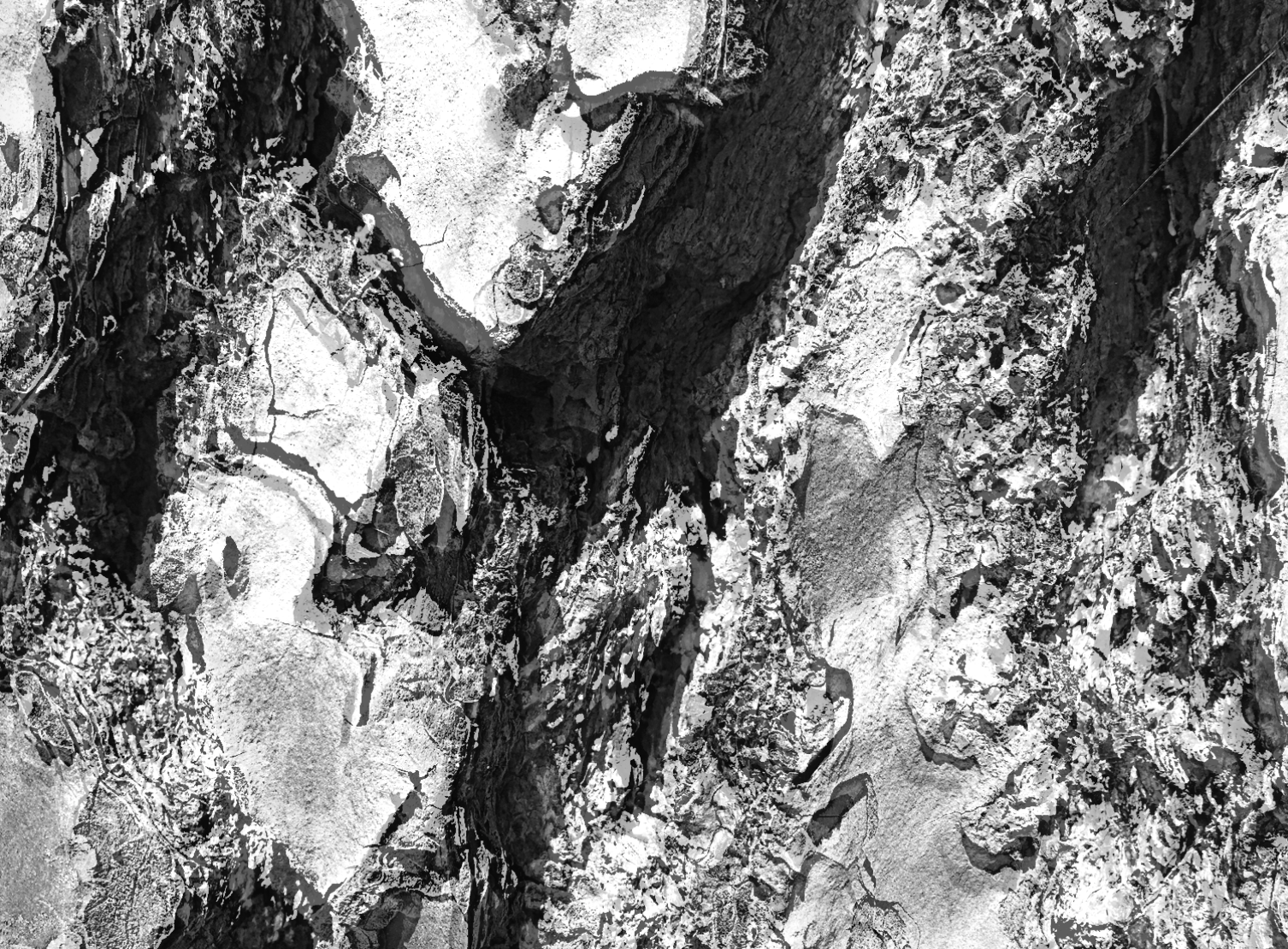
When, above average temperatures [+8.6°C in June, +2.7°C in July] (Ibid), and dry thunderstorms arrived in June 1988, YNP’s fire triangle was completed. The first fire in the Yellowstone Fires complex, the Storm Creek Fire, was ignited on June 14th by lightening, as were the several fires that immediately followed, including the Fan, Shoshone, and Red. Both human actions [accident] and infrastructure [power-lines] caused additional fires within the complex, including the North Fork Fire, which grew to over 500,000 acres. As a complex, the fires reflect the extent to which weather, topography, and fuel state, amongst other factors, shape fire behaviour, including spread rate, intensity, and severity [Fig. 34]. Spread rates varied considerably throughout the 3-month firestorm, accelerating and decelerating as wind speeds increased or decreased, terrain rose and fell, and fuel density and type shifted as the fire spread across the GYE forest mosaic. Consequently, the fire’s ecological legacy was similarly heterogeneous.
At its peak, the fire complex rapidly engulfed large tracts of forest, its forward motion propelled by both atmospheric conditions in combination with its internal dynamics [i.e. radiative heating, spotting, etc]. Greater than the orders of fire-spread magnitude observed within living memory, the fires were indicative of fire behaviours that have become common in subsequent decades. On September 7th those fighting the fires noted flame lengths of 30-60m above the canopy, together with fire tornados, extensive crowing runs, and spotting (Henry, 2015). Two days later the fires were so intense they burned through 228,137 acres, thereon 100,000 the following day (Ibid). However, such is the heterogeneity of GYE’s forest landscape as for all variants of fire-severity [severe, moderate, light, and unburned] to have featured in the fire- footprint (Anderson and Romme, 1991).
Post-fire, [Fig. 35] true to serotinous form, the park’s Lodgepole pine population seeded abundantly, the populations thereof relative to the pre-fire stand densities (Anderson et al, 2004). Where fire-severity was acute [i.e. crown fires, which destroyed and estimated 80-88% of seedlings, despite an estimated 50% being serotinous] seeds dispersed from adjacent plots that had been subjected to moderate fire-severity, where trees had burned, and cones opened, but seed mortality was low (Ibid). Evidencing that severe fires are advantageous to species that have adaptations thereto, studies of post-fire plots of Lodgepole seedlings found that both height and diameter growth rates were higher in the aftermath of canopy fires than moderate fires in 5/6 and 4/6 cases respectively, and that, over-time, the effects “become exaggerated” (Ibid, p.81).
Together with the fire’s heterogeneity, pre-existing landscape features, including soil texture and type, slope gradient and aspect, microclimate, and pre-fire plant communities resulted in varied re-vegetation rates (Meyer, 2004) and assemblies throughout the park’s post-fire landscape. Shifts in sedimentation transportation and geomorphology, including soil erosion, led to wide-scale debris flows and flash floods, and saturation-induced slope failures upon the arrival of precipitous storm (Meyer, 2004).
While GYE’s Sagebrush grasslands are not the foci of this case study, analysis of the fire’s impacts whereupon it spread into this biome-type evidence a similar ecological response to that of the Mount St. Helens eruption of May 18th 1980. For example, both events stimulated Lupine [Lupinus Lepidus] reproduction, in the former instance upon the passing of the fires (Ibid), in the latter, upon the disturbance caused by the eruption’s lateral blasts, pyroclastic flows, resulting fires, and soil displacement (Bishop et al, 2005). Thus, in this, and other instances [i.e. species within the Poaceae family] functional traits that evolved to provide resilience against fire, likewise provide resilience against one or more other genres of environmental disturbance.
Both within GYE’s coniferous forests, and its grasslands, the 1988 fires improved foraging quality, therein befitted wide-ranging members of the ecosystems’ faunal communities, including insets to herbivores (Singer et al, 2004), therein illustrating merit in the fire culture of the park’s original human inhabitants, Native Americans. Furthermore, the post-fire landscape provided ample feeding and nesting habitat for birds and small mammals, such as the Three-toed woodpecker [Picoides arcticus and P.tridactylus], of which populations were boosted by the fires (Tinker and Knight, 2004). Likewise, the park’s carnivorous megafauna, including its Grizzly Bears [Ursus arctos ssp.] benefitted from the fires, for, as had early humans on the African savannah, they foraged the equivalent of a ready-cooked picnic: the carcasses the fires left behind (Green et al, 1997).
The GYE’s past, as evidenced in numerous paleobotanical studies of this past 3 decades, makes clear that its fire regimes shift in concert with changing climate, thus fire frequencies, intensities, and severities are not constant in space and time, nor species populations and distributions. Hence, the ecosystem, or rather nonequilibrium system of spatially and temporally complex ecosystems, illustrates the evolutionary nature of landscapes, both structurally and behaviourally. We can see this visually in pre and post-fire satellite images take of GYE between 1987 - 2010 [Fig. 36].
In the context of the wildland urban interface, and of the convergence of human and non-human phenomenon more generally, the history of the GYE, and in particular its fire history, puts paid to the contrived notion that humanity can exert control over Earth Systems we have yet to fully understand. When, both theoretical and computer modelling, together with the palaeological record, suggest that regionally, nationally, and globally, wildfire activity across several biome variants is set to increase, and no less so than in those of the YNP, this case study serves to illuminate some of the challenges - practical, philosophical and psychological - as may be inherent therein.
Yellowstone Fire Complex 1998
Fire Regime Data [Tab.1]
Timing
Ignition date: June 14th 1988*
Declared a major disaster: N/A**
Fires extinguished: Nov 18th, largely contained Sept 10-11th***.
* While several fires had broken out earlier in the month, all had extinguished. The Storm Creek Fire, which ignited on June 14th, marked the start of the fire complex that was to spread to 36% of the park.
** Although representatives of the President’s office attended the scene, and Congress facilitated fire-fighting and recovery funds, the event was not attributed major disaster status.
*** The fires were largely contained by the arrival of the season’s first snowfall.
Biome
Type: Mixed Conifer Forest [across the areas the fires burned].
Historic regime type: Mixed to High-severity [>1890 fire-cycle 20-50yrs] [1].
Fire resilience variant: Primarily Evaders* [Lodgepole pines dominant]
Trajectory
Most model simulations suggest that, based on the bandwidth of climate trajectories, the park’s near-future fire regime will be analogous to that of the early Holocene, 6000tya [1], when fire frequency was considerably greater than during the first several decades of the 20th century.
Fuel-state
Exceptionally dry falls, juxtaposed against unusually precipitous summers [2,3,4] (reaching 200-300% above average) in the immediately preceding years, which contributed to tree mortality, while accelerating growth of forest floor fuels. In 1988, precipitation of 155- 181% above average during April/May was followed by drought from June – August2. As above, tree mortality increased by a beetle infestation, and by many Lodgepole pines reaching end of life term.
Land-use type
Wildlands; Wildland Intermix.
Acres burned
Total acres burned [within YNP]: 793,000> acres [approx. 36% of acreage]5. Areas: Yellowstone National Park, Wyoming.
Fires in complex
Fires attributed to the complex included* Storm Creek; Shoshone; Fan; Red; Lava: Mist; Mink; Falls; Raven; Clover**; Lovely; Wolf Lake; North Fork [at 500,000> acres the largest fire in the complex]; Factory; Ridge; Fern; Sour; Emerald; Hellroaring; Snake; Huck [1].
*Found significant variances in estimates of acreage burned by individual fires within the complex, which has been attributed to the absence of standardised boundary demarcation for fires within the complex, some of which merged to form larger fires, and for which post-fire burn scar estimates were largely calculated in the absence of satellite technologies. Hence, acreage burned by individual fires within the complex has been left unspecified.
** The above lists the individual fires, many of which converged to form sub-complexes, such as the Clover-Mist Fire, which incorporated the Clover, Lovely, Raven, Shallow, Fern, and Sour Fires, burning approx. 400,000 acres in all.
Causations
Known causations include 42x Lightning [many of which quickly burned themselves out]; 9x Human-caused [inc. 1x dis-guarded cigarette] 6; 1x Power lines; and Fire spotting.
Sources: [1] Millspaugh et al (2004) [2] Zuckert (1989) [3] Turner, Romme and Gardner (1999 [4]. Henry (2015) [5] NASA [Earth Observatory] (2016) [6] National Park Service (2016).
>Continue to Chapter 4.4.2 here.
The thesis is also available in PDF format, downloadable in several parts on Academia and Researchgate.
Note that figures have been removed from the digital version hosted on this site, but are included in the PDFs available at the links above.
Citation: Sterry, M. L., (2018) Panarchistic Architecture: Building Wildland-Urban Interface Resilience to Wildfire through Design Thinking, Practice and Building Codes Modelled on Ecological Systems Theory. PhD Thesis, Advanced Virtual and Technological Architecture Research [AVATAR] group, University of Greenwich, London.